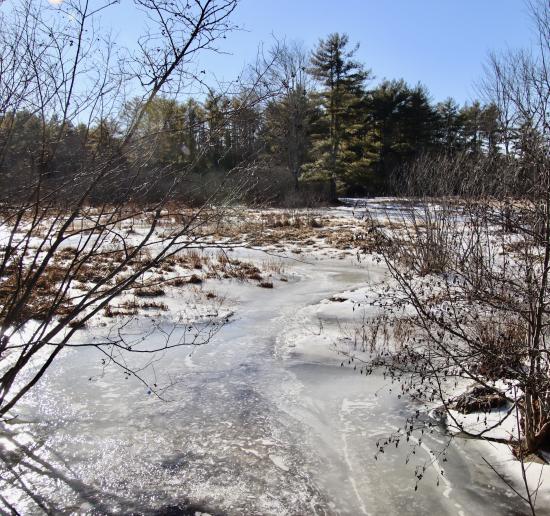
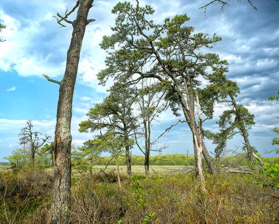
This map shows several points along the Nonesuch Estuary starting at the Blue Heron Trail, which is just above the head of tide on the Nonesuch. Each point includes several photos of the area plus photos between that point and the next downstream point.